Hey all, time for another update!
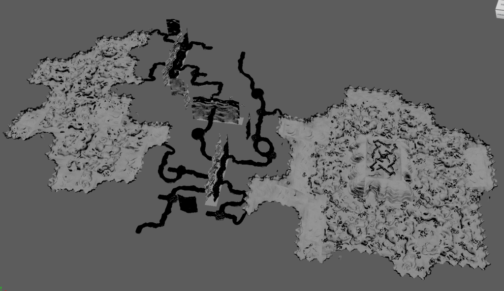
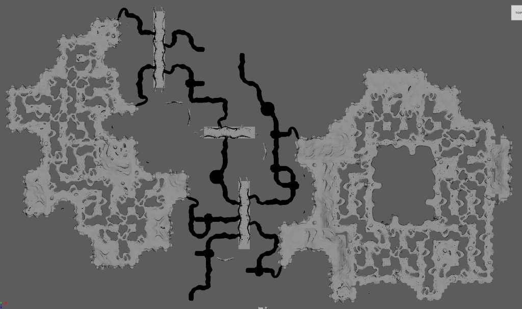
We’ve been working hard on map pack 2 for the last 2 months and we’re finally ready to release! We also have made some fixes to the maps in map pack 1, driven by our own testing but most importantly by YOU. We’ve gotten lots of feedback from you all on fixes for maps and we’ve implemented them! Thank you for your help in bringing this vision to life. We really can’t stress enough how much your encouragements, suggestions, and fixes drive this project.
You can download the latest image files and game files (DATs) for pack 1 and pack 2 on the releases page of our github repository. The game files have been packaged such that they are not split into separate archives. Pack 1 and pack 2 are bundled together.
Installation
We *highly* recommend XIPivot for adding modded DAT files to the game. It’s an addon for Windower and Ashita both, and it’s a godsend for loading modded DATs into the game without worrying about game updates steamrolling them.
- Head over to the XIPivot releases page and download the latest version for Windower or Ashita.
- Extract the zip and copy the xipivot folder to your Windower or Ashita addons folder
- Download the DATs from the remapster_maps releases page
- Find the addon folder for XIPivot in Windower or Ashita.
- Create a “data” folder and inside create a “DATs” folder. Once more, create a “remapster” folder inside the DATs folder.
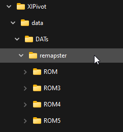
- Extract the DAT files so that the ROM folders are inside the remapster folder.
- Create a settings.xml file in the “data” folder and add your remapster folder thus:

- Load XIPivot in Windower or Ashita. The maps should load properly without needing to log out and load the game back up.
And that’s it! Enjoy!
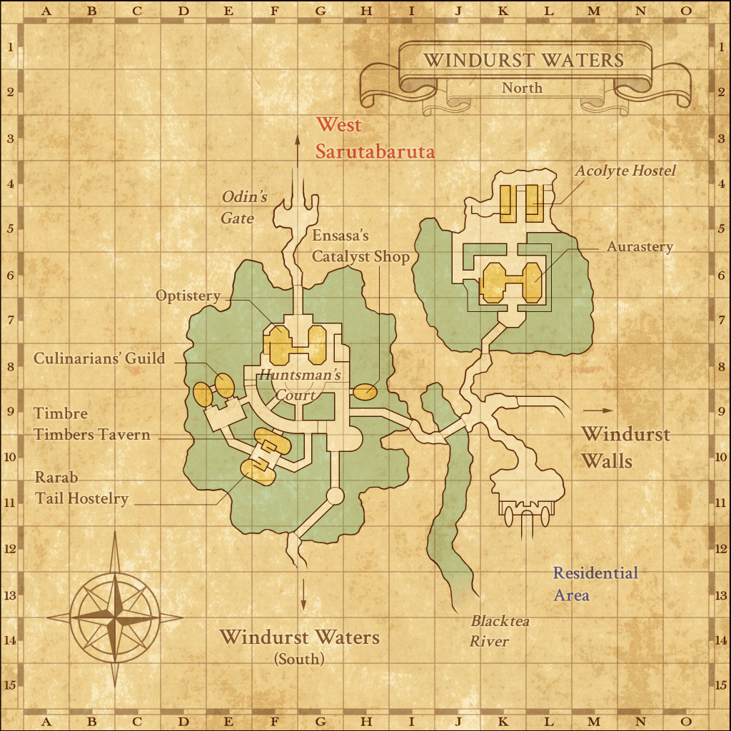
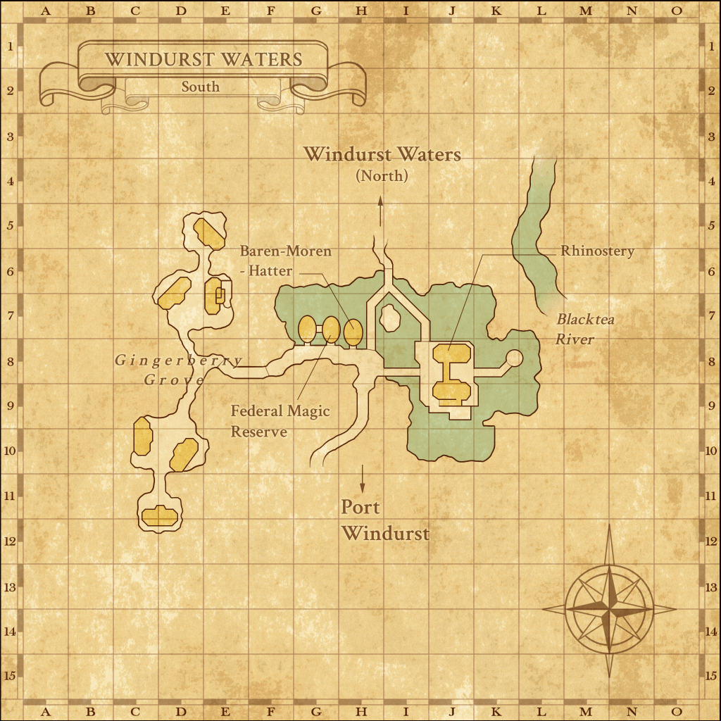
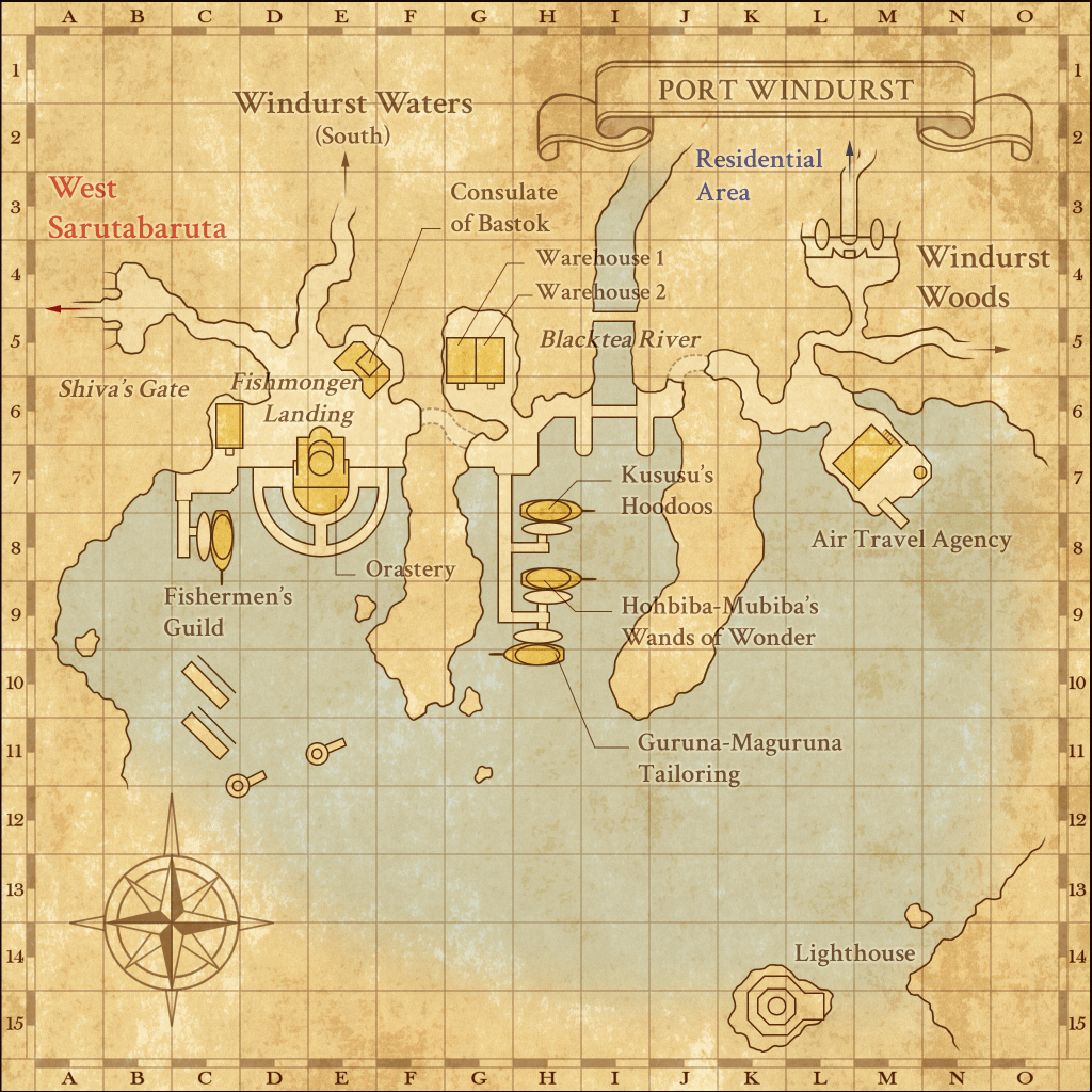
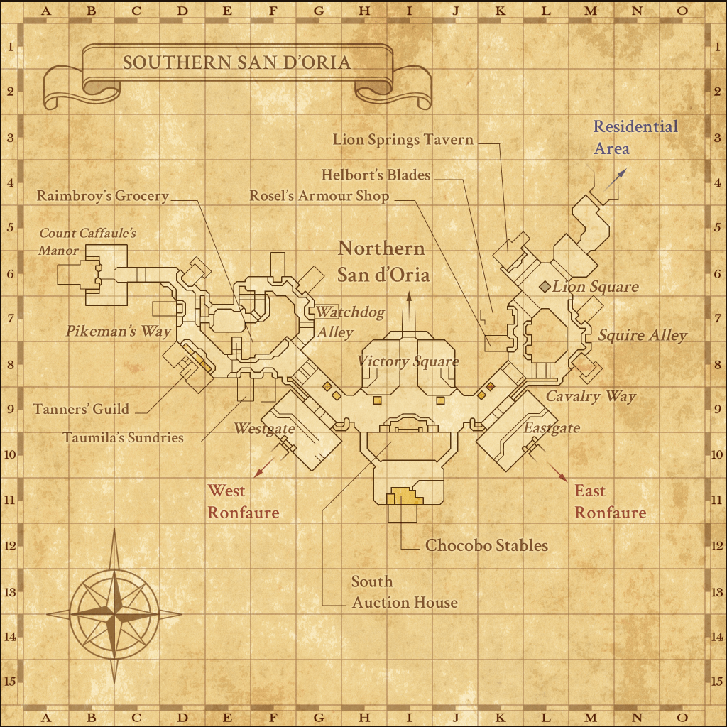
Map Pack 1 zones
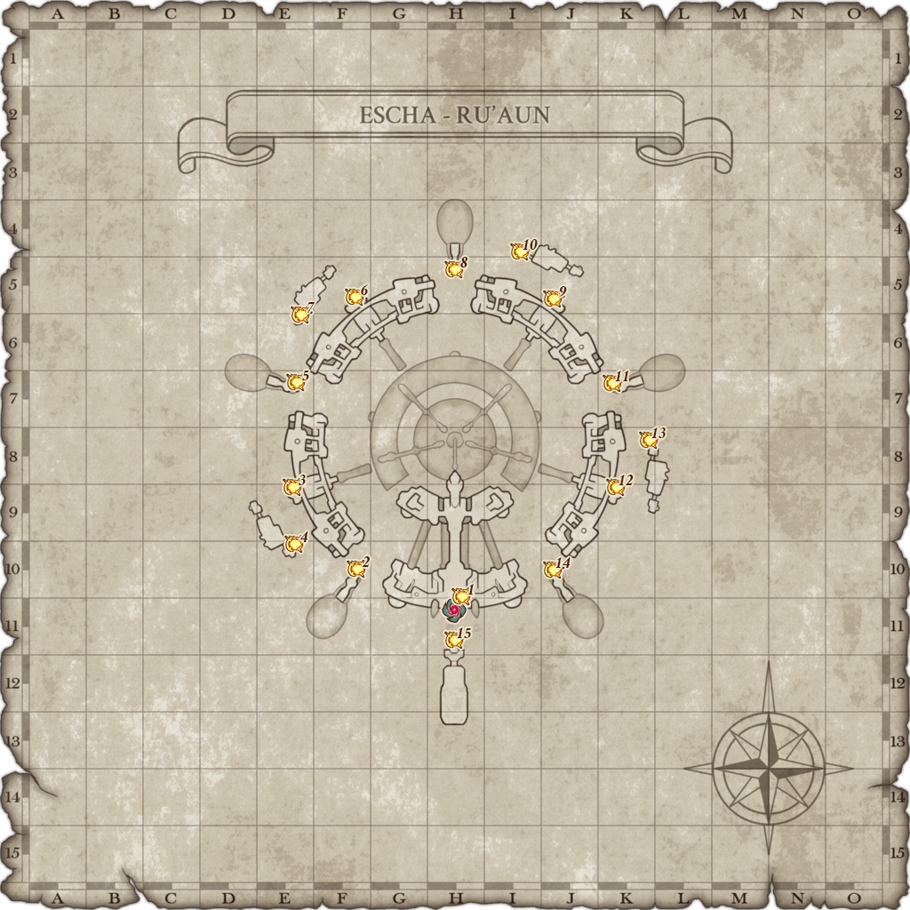
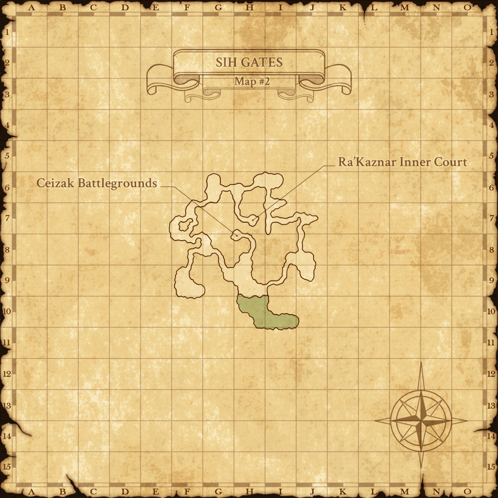
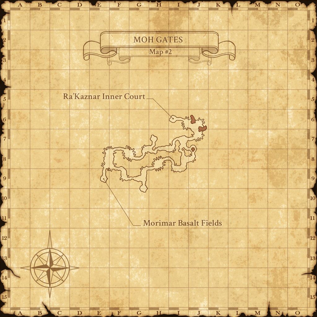
| Aht Urhgan Whitegate | Escha – Ru’Aun | Ra’Kaznar Inner Court |
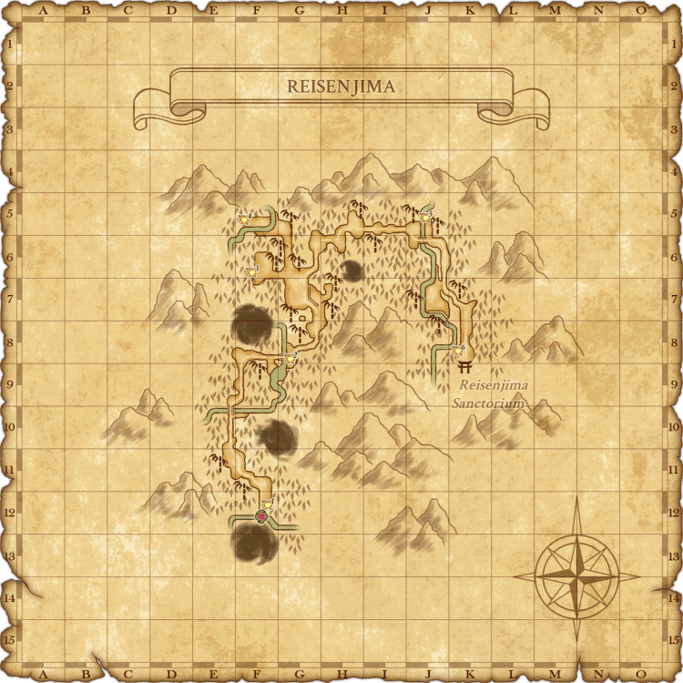
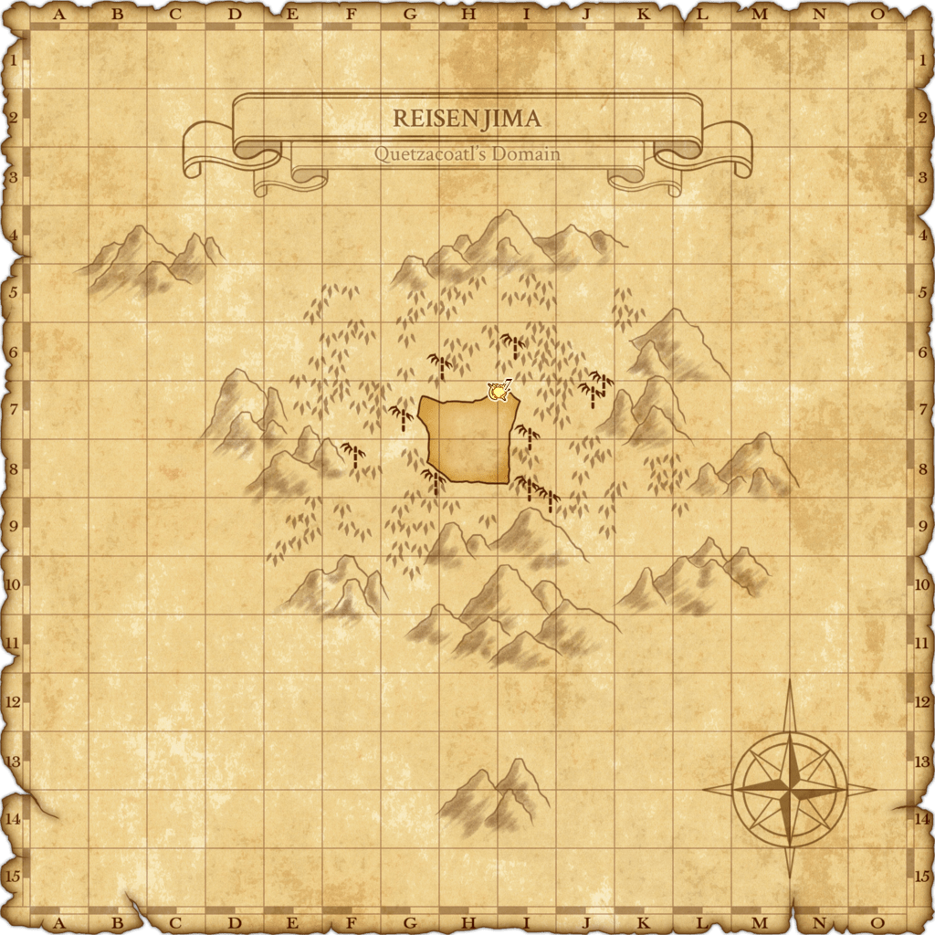
| Al Zahbi | Escha – Zi’Tah | Reisenjima |
| Bastok Markets | Foret de Hennetiel | Reisenjima Henge |
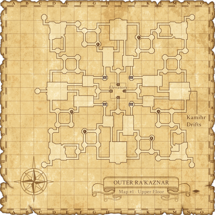
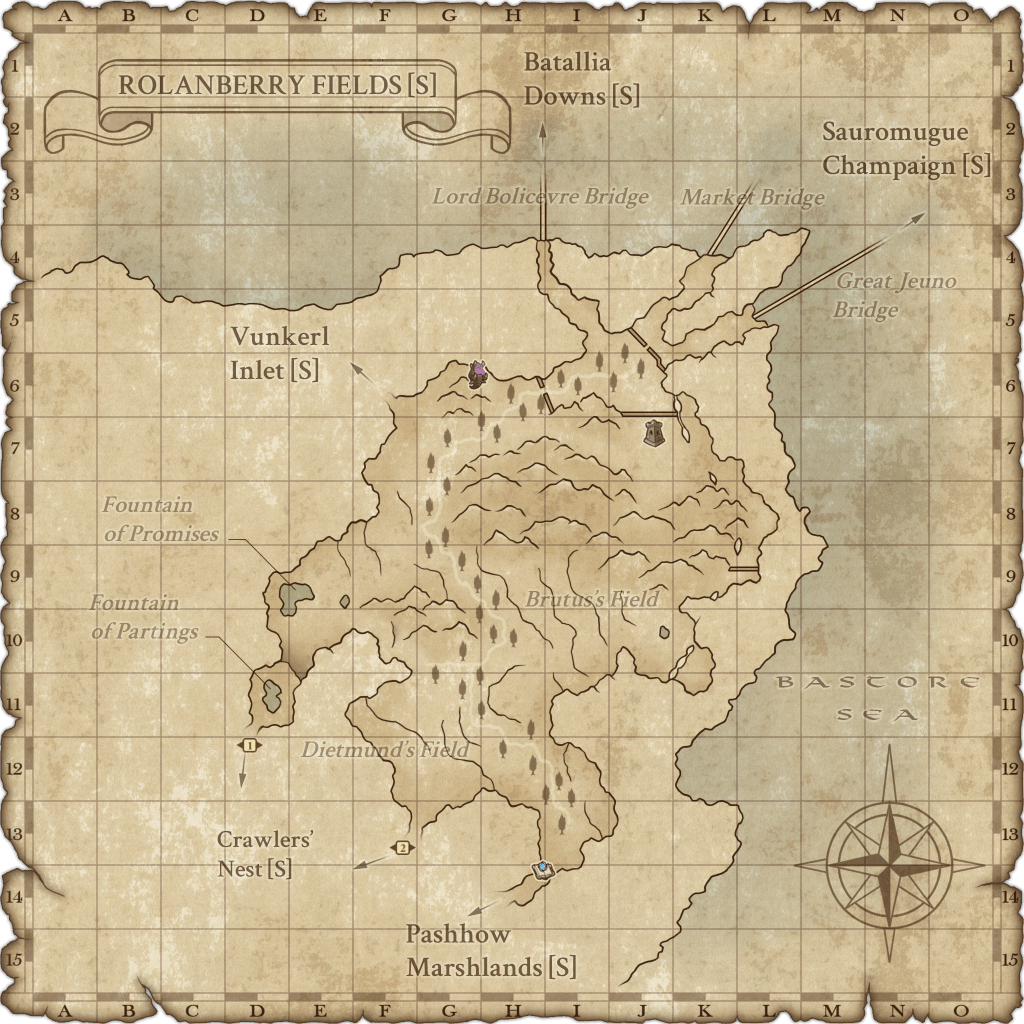
| Bastok Markets [S] | Kamihr Drifts | Rolanberry Fields |
| Bastok Mines | Konschtat Highlands | Rolanberry Fields [S] |
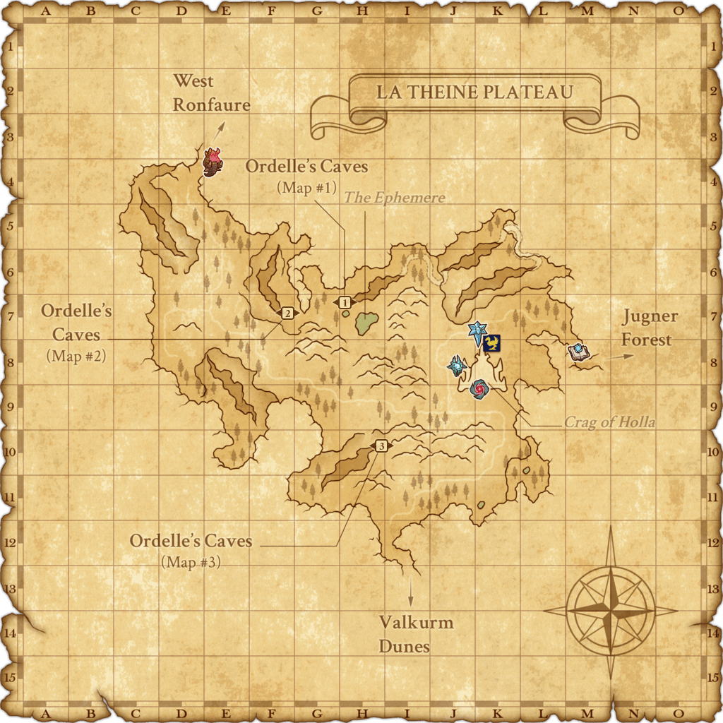
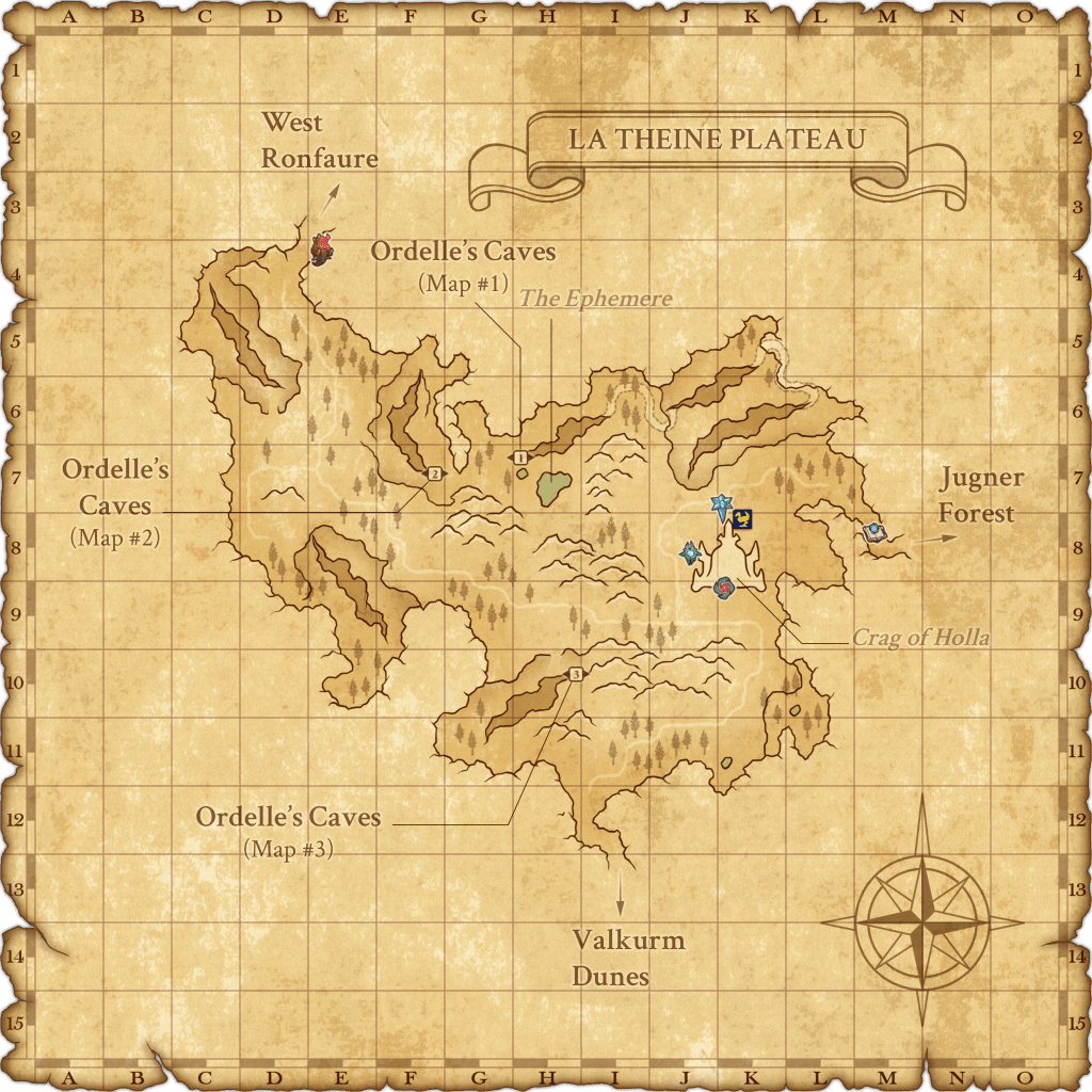
| Batallia Downs [S] | La Theine Plateau | Ru’Lude Gardens |
| Ceizak Battlegrounds | Lower Delkfutt’s Tower | Sauromugue Champaign |
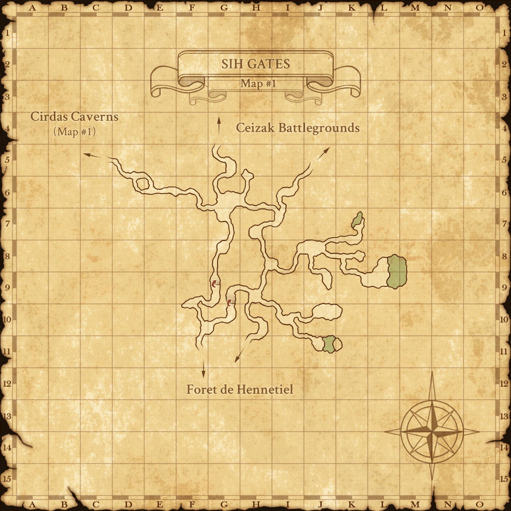
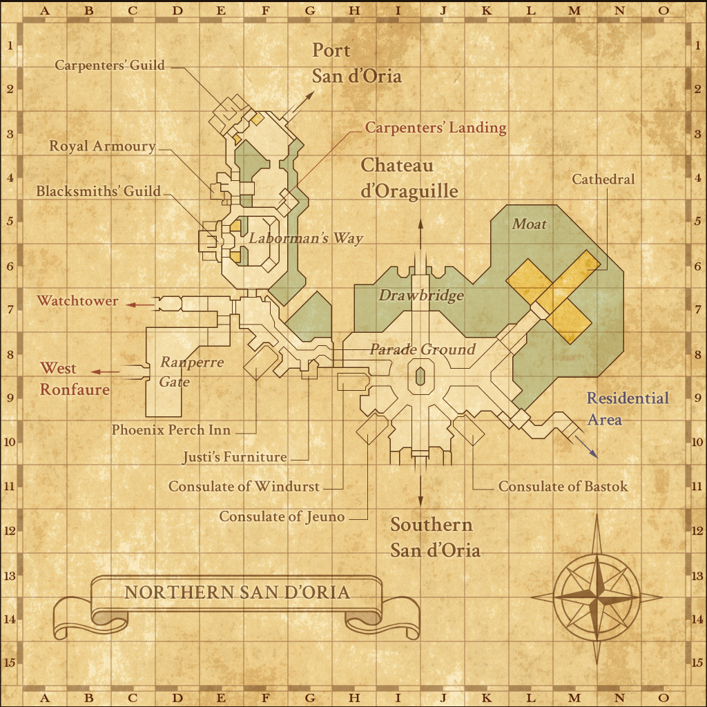
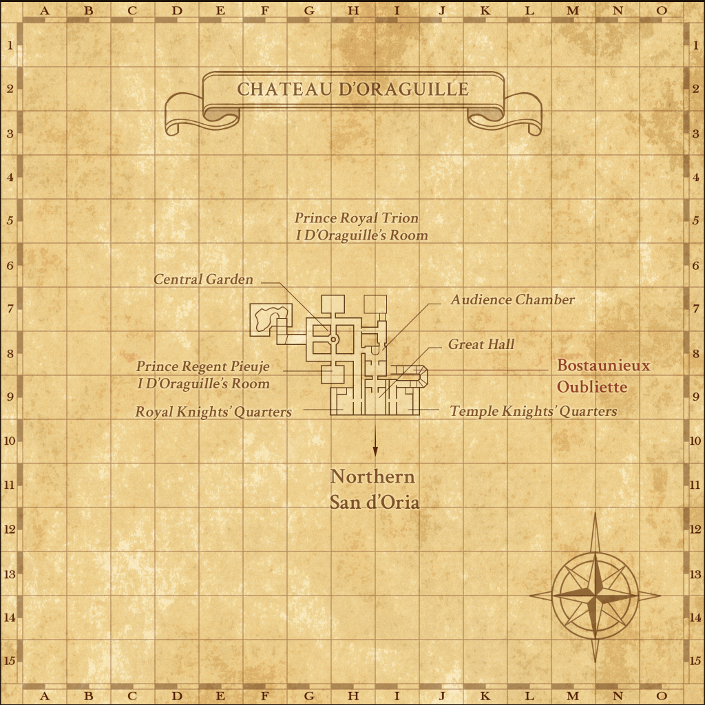
| Chateau d’Oraguille | Lower Jeuno | Sih Gates |
| Cirdas Caverns | Marjami Ravine | Southern San d’Oria |
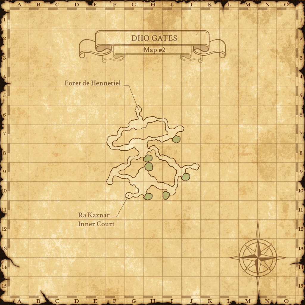
| Dho Gates | Metalworks | Southern San d’Oria [S] |
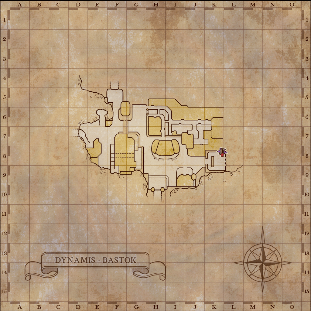
| Dynamis – Bastok | Mhaura | Tahrongi Canyon |
| Dynamis – Bastok [D] | Middle Delkfutt’s Tower | Tavnazian Safehold |
| Dynamis – Beaucedine | Moh Gates | Upper Delkfutt’s Tower |
| Dynamis – Buburimu | Morimar Basalt Fields | Upper Jeuno |
| Dynamis – Jeuno | Nashmau | Valkurm Dunes |
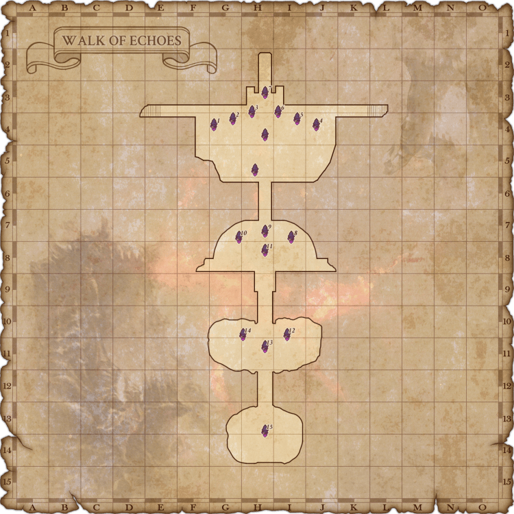
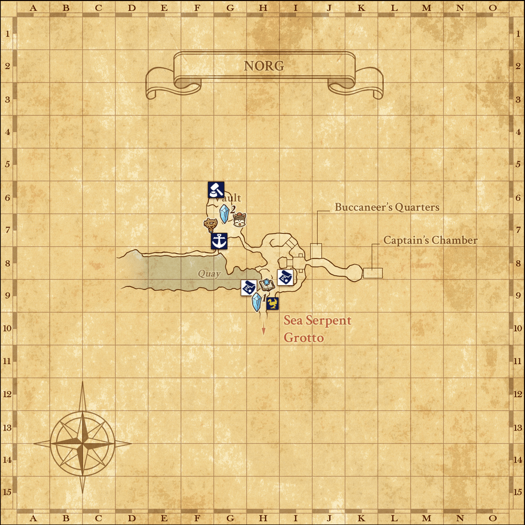
| Dynamis – Jeuno [D] | Norg | Walk of Echoes |
| Dynamis – Qufim | Northern San d’Oria | Walk of Echoes [P1] |
| Dynamis – San d’Oria | Nyzul Isle | Walk of Echoes [P2] |
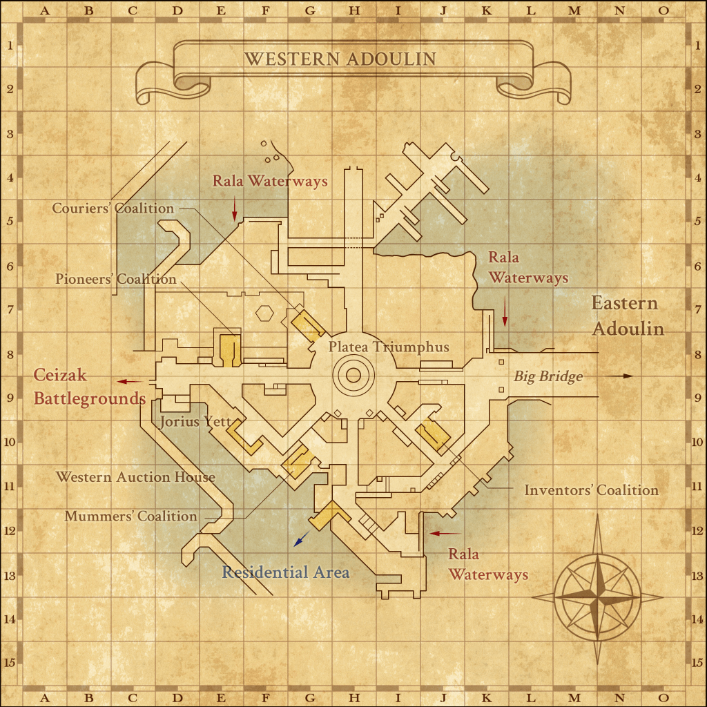
| Dynamis – San d’Oria [D] | Outer Ra’Kaznar | Western Adoulin |
| Dynamis – Tavnazia | Port Bastok | Windurst Walls |
| Dynamis – Valkurm | Port Jeuno | Windurst Waters |
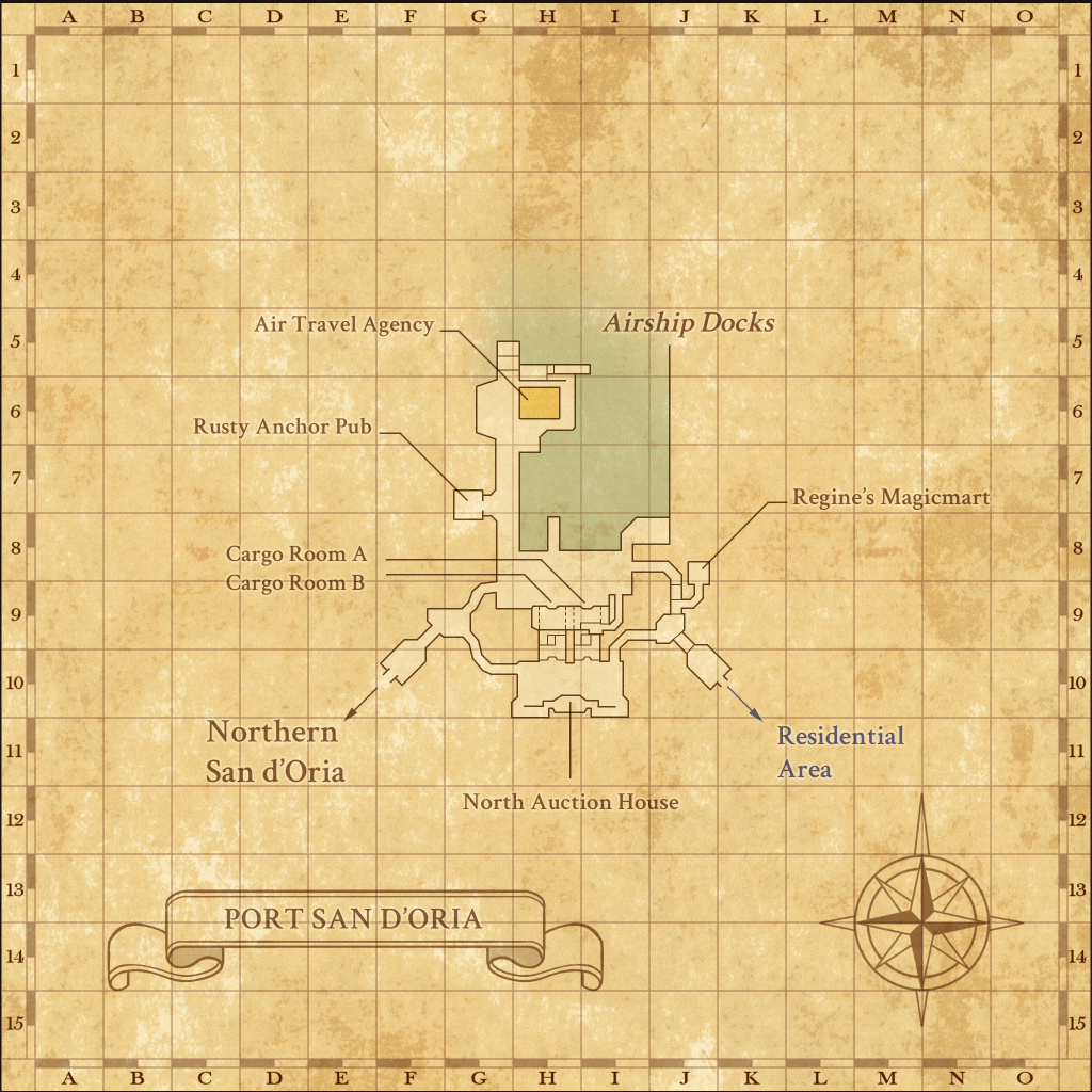
| Dynamis – Windurst | Port San d’Oria | Windurst Woods |
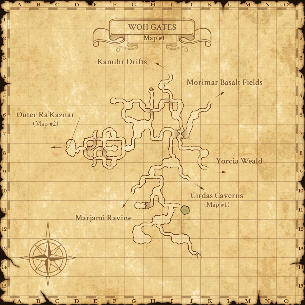
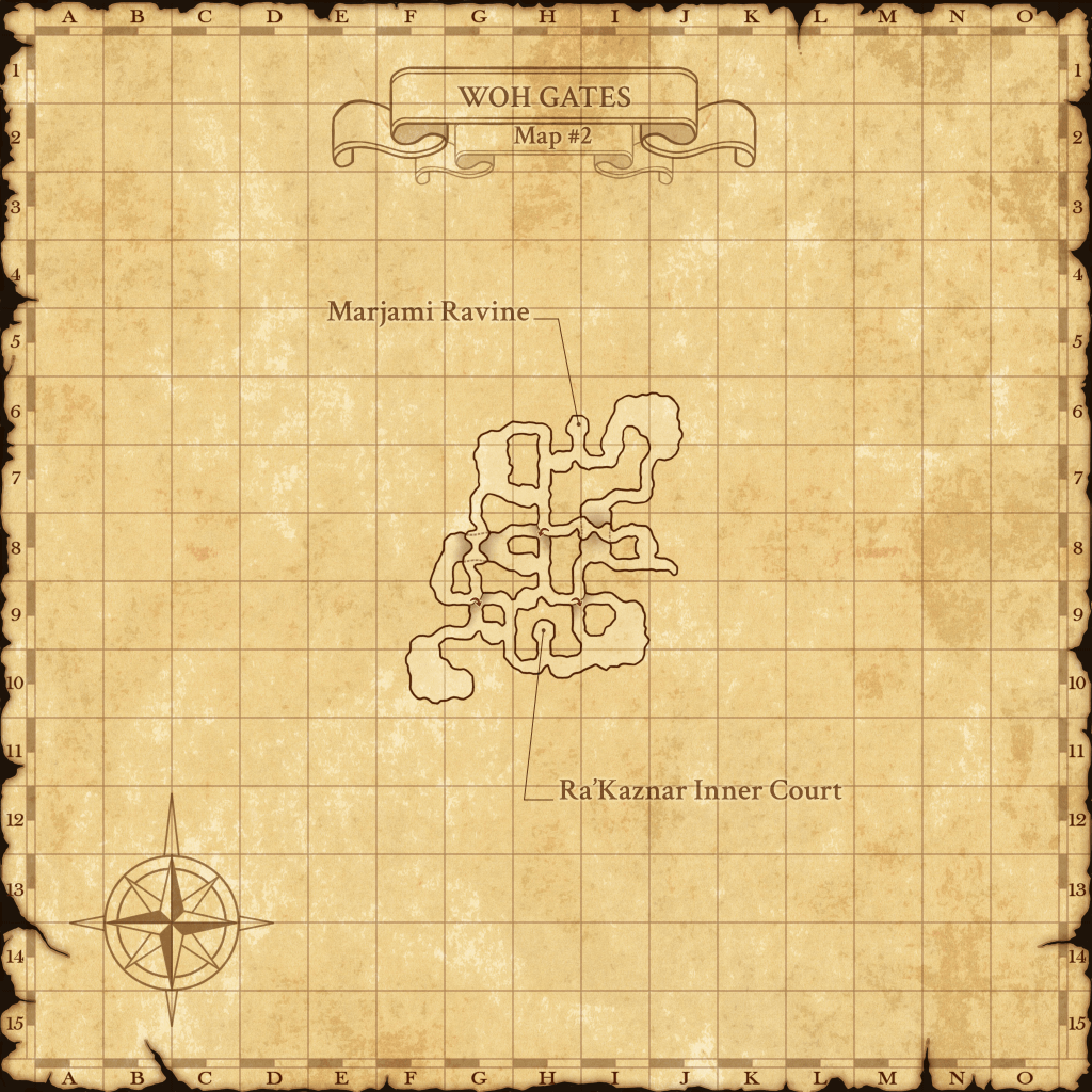
| Dynamis – Windurst [D] | Port Windurst | Woh Gates |
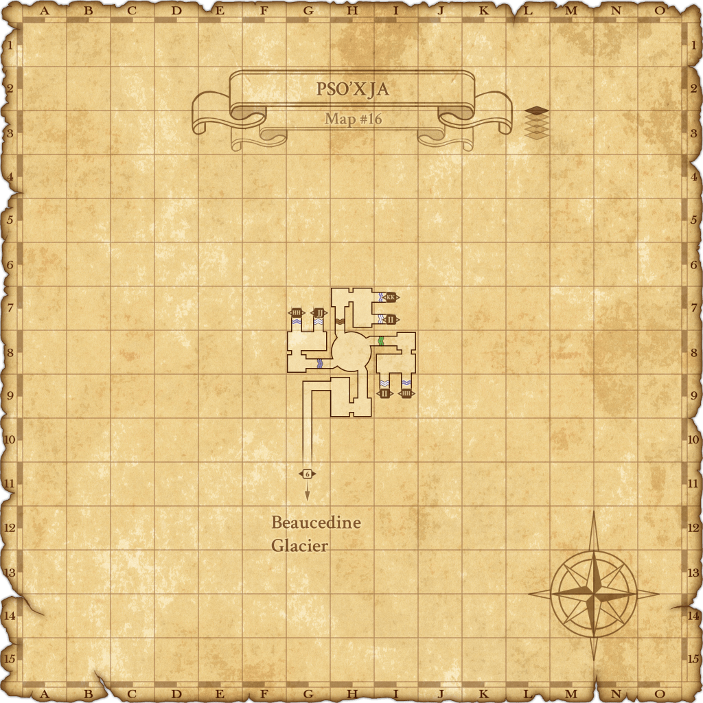
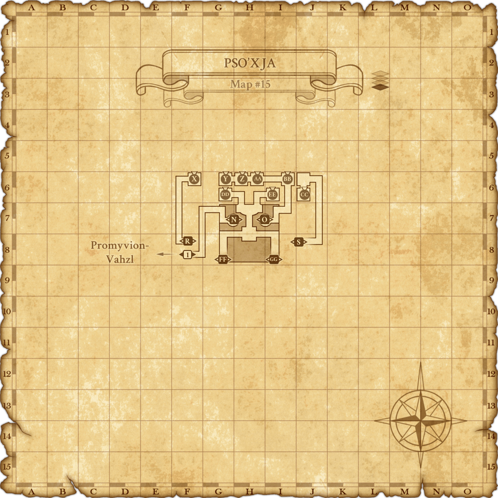
| Dynamis – Xarcabard | Pso’Xja | Yahse Hunting Grounds |
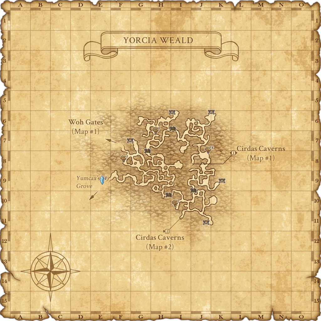
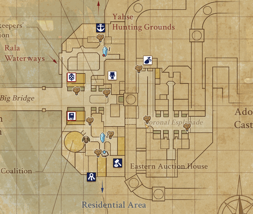
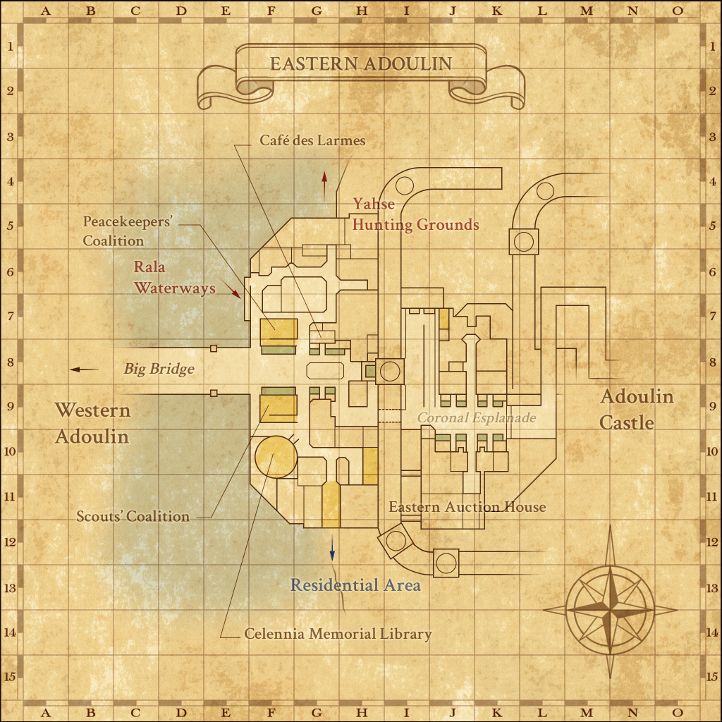
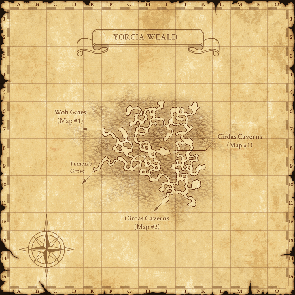
| Eastern Adoulin | Qufim Island | Yorcia Weald |
Map Pack 2 zones
| Abyssea – Altepa | Dangruf Wadi | Promyvion – Mea |
| Abyssea – Attohwa | Davoi | Promyvion – Vahzl |
| Abyssea – Konschtat | East Ronfaure | Qulun Dome |
| Abyssea – La Theine | East Ronfaure [S] | Ra’Kaznar Turris |
| Abyssea – Misareaux | East Sarutabaruta | Rala Waterways |
| Abyssea – Tahrongi | Fort Ghelsba | Riverne – Site #A01 |
| Abyssea – Vunkerl | Garlaige Citadel | Riverne – Site #B01 |
| Al’Taieu | Ghelsba Outpost | Ru’Aun Gardens |
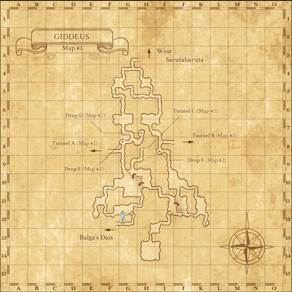
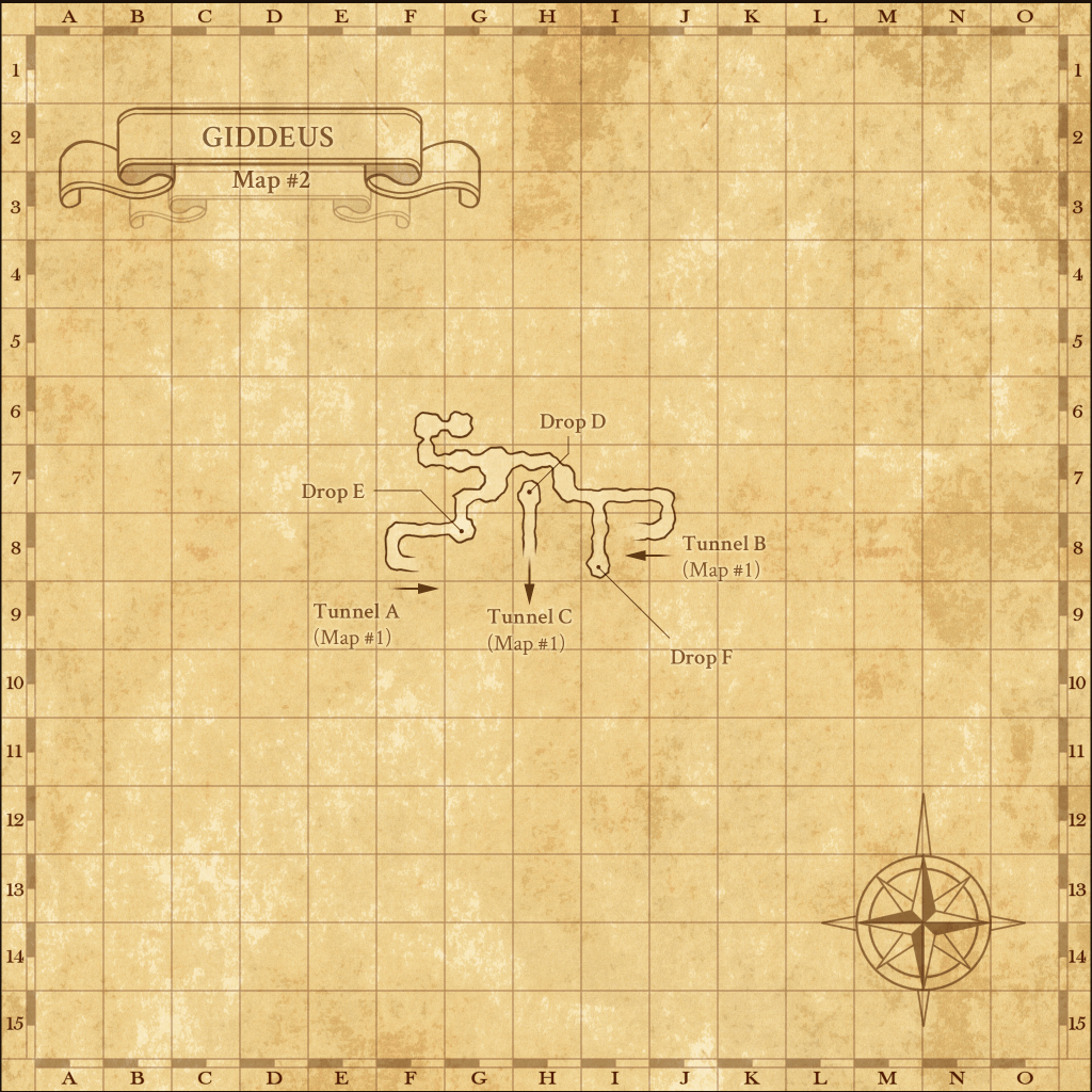
| Altar Room | Giddeus | Sea Serpent Grotto |
| Alzadaal Undersea Ruins | Gusgen Mines | Selbina |
| Apollyon | Gustav Tunnel | South Gustaberg |
| Arrapago Reef | Inner Horutoto Ruins | Temenos |
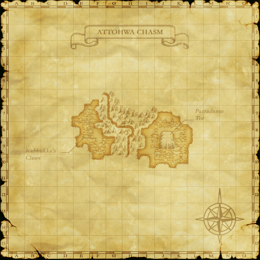
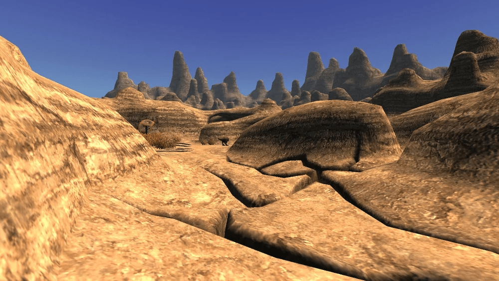
| Attohwa Chasm | Jugner Forest | Temple of Uggalepih |
| Aydeewa Subterrane | Korroloka Tunnel | The Boyahda Tree |
| Batallia Downs | Kuftal Tunnel | The Eldieme Necropolis |
| Beadeaux | Lufaise Meadows | The Eldieme Necropolis [S] |
| Beaucedine Glacier | Mamook | The Sanctuary of Zi’Tah |
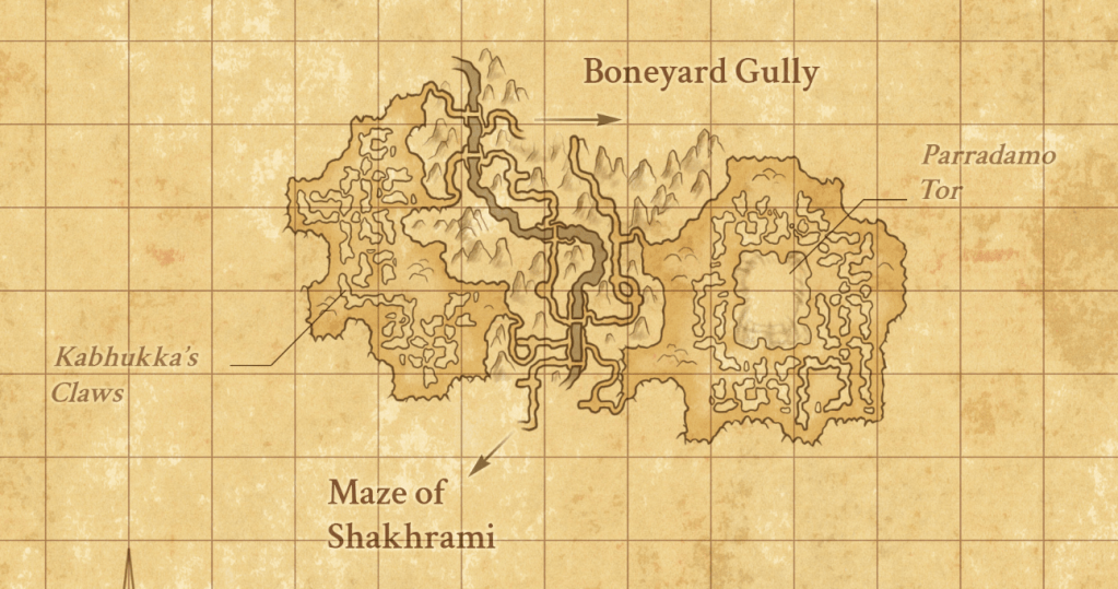
| Behemoth’s Dominion | Maze of Shakhrami | Uleguerand Range |
| Bhaflau Thickets | Meriphataud Mountains | Wajaom Woodlands |
| Bibiki Bay | Misareaux Coast | Waughroon Shrine |
| Bostaunieux Oubliette | Monastic Cavern | West Ronfaure |
| Buburimu Peninsula | Mount Zhayolm | West Sarutabaruta |
| Caedarva Mire | North Gustaberg | Xarcabard |
| Castle Oztroja | Palborough Mines | Yhoator Jungle |
| Castle Zvahl Baileys | Pashhow Marshlands | Yughott Grotto |
| Castle Zvahl Keep | Promyvion – Dem | Yuhtunga Jungle |
| Crawlers’ Nest | Promyvion – Holla | Zeruhn Mines |
See you next time map masters,
Akaden